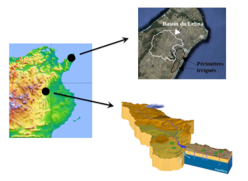
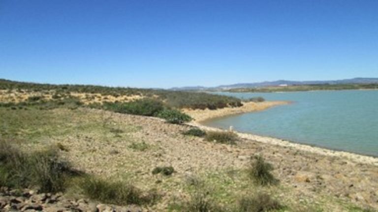
NAILA’s scientific project is based on two study sites: the Lebna watershed in Cap Bon and the Merguellil watershed in the Kairouan region.
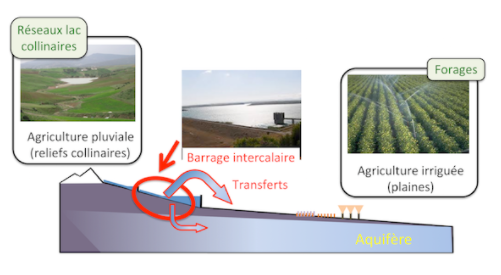
These two sites are linked with the monitoring network of the hilly lakes of the Tunisian Dorsal, managed by the Tunisian Ministry of Agriculture. They contain long-term observation systems, including the ORE OMERE (https://www.obs-omere.org/). They can be schematized by extensive rain fed – intensively irrigated agro systemic gradients on upstream – downstream hydrological transects
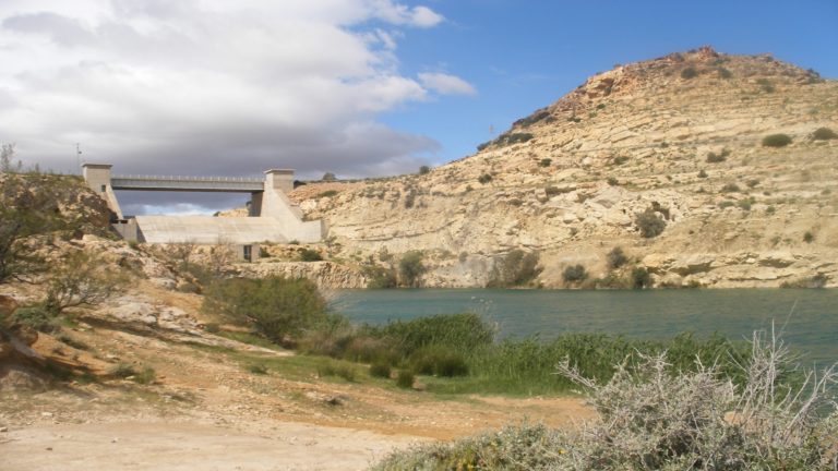
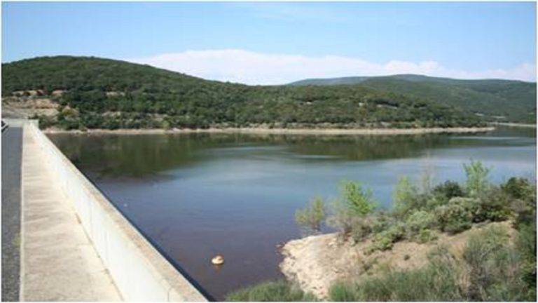
Furthermore, they have similarities for comparative studies: following successive resource mobilization campaigns, each is characterized by the presence of a network of hilly lakes upstream, an infill dam between upstream and downstream, and numerous boreholes in the downstream aquifer. They have differences that increase the representativeness of the studies:
• Semi-arid or sub humid climatic regime
• Hydrological regime at the surface or in connection with the deep aquifer
• Water quality degraded by mineralization or agricultural pollution
• Agricultural production system in cereals / fodder or in cash crops
The historical work carried out on these two sites for 30 years allows us to conduct integrated analysis studies by capitalizing on the numerous information available at the level of the physical and socio-economic environments. The expansion of the panel of study sites will be studied from the start of NAILA 2, with the possible articulation between primary and secondary study sites in connection with methodological developments and integrated analysis.